Unfortunately, I ran out of time and made a wise decision to abort and return so that I would make it back in the light. I had fun anyway, and I learnt quite a bit about navigating in the bush with map and compass and with GPS as the safety backup. I made one wrong turn and became befuddled once when working my way down around the cliff at top of Cattle dog.
 |
| GPS track of out and back |
 |
| Carlon Head on Narrowneck overlooks Dunphy's Campground |
 |
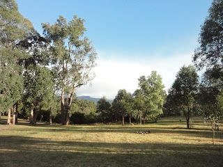
| Beautiful campground |
 |
| The road in, via three closed gates |
 |
| Carlon Creek... shitty and full of stinging nettles! |
 |
| Carlon Creek meets Breakfast Creek...end of track. |
 |
| Breakfast Creek |
 |
| The Cattle Dog Ridge...steep! |
 |
| That's Knight's Deck up there |
 |
| View from Cattle Dog Ridge cliff to Carlon's Head (on Narrowneck) in far distance |
 |
| Cattle Dog Ridge cliff top |
 |
| Cairn at junction Cattle Dog with Blue Dog |
 |
| Hard work walking down Cattle Dog ! |


